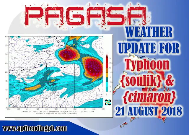
SYNOPSIS: Southwest Monsoon affecting the western section of Luzon. Meanwhile, at 3:00 PM today, the eye of Typhoon CIMARON was located based on all available data at 2,300 km East of Extreme Northern Luzon (21.2 °N, 144.1 °E)[OUTSIDE PAR] with maximum sustained winds of 120 km/h near the center and gustiness of up to 145 km/h. It is moving Northwest at 25 km/h. TYPHOON SOULIK LOCATION OF THE EYE (3PM): 1,270 KM NORTHEAST OF EXTREME NORTHERN LUZON (28.4 °N, 131.0 °E)[OUTSIDE PAR] MAXIMUM SUSTAINED WINDS: 160 KM/H NEAR THE CENTER GUSTINESS: 195 KM/H MOVEMENT: NORTHWEST AT 25 KM/H.FORECAST WEATHER CONDITIONS:
Ilocos Region, Cordillera Administrative Region, Central Luzon, Batanes, and Babuyan Group of Islands will experience cloudy skies with scattered rains and thunderstorms due to Southwest Monsoon. Possible flooding and landslides due to scattered rains and thunderstorms.
The rest of the country will experience Partly cloudy to cloudy skies with isolated rainshowers due to Localized thunderstorms. Possible flash floods and landslides due to moderate to occasionally heavy rains or thunderstorms.
Weather information is courtesy of DOST PAGASA.


No comments:
Post a Comment