

 |
| https://www1.pagasa.dost.gov.ph |
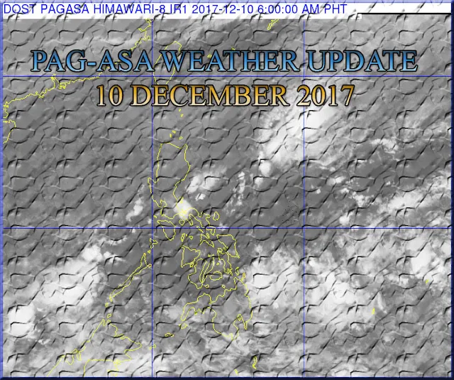
Based on PAG-ASA weather forecast synopsis update as of 4:00 PM today - Tail-End of a Cold Frontaffecting the eastern section of Southern Luzon. Northeast Monsoonaffecting Northern and Central Luzon. Intertropical Convergence Zone (ITCZ) affecting Mindanao.
Tail-End of a Cold Front will bring Cloudy skies with scattered rainshowers and Isolated thunderstorms in places of Bicol region and the provinces of Quezon, Mindoro, Marinduque and Romblon.
Cloudy skies with scattered rainshowers and Isolated thunderstorms will be experience in place of Eastern Visayas and Mindanao due to ITCZ.
Northeast Monsoon will bring Cloudy skies with scattered rains in places of Cagayan Valley, Cordillera Administrative region and Aurora province and Partly cloudy to cloudy skies with isolated rains in places of Metro Manila, Ilocos region, the rest of Central Luzon and the rest of CALABARZON.
The Rest of the country will expect Partly cloudy to cloudy skies with
isolated rainshowers especially over the eastern section due to localized thunderstorms.
Continue Reading: LA NIÑA WILL BRING MUCH RAINFALL DURING THE REMAINING PORTION OF THE YEAR AND FIRST QUARTER OF 2018.
Thanks for reading this article.
Was this helpful?
Like Us on Facebook: PH Trending News and Infos
If you find this information helpful, share it with others. Know someone who can use this information? Share this with them as well! Let’s spread the news.


![CSC | Annex B-1 Generic and Parenthetical Titles of Positions in LGUs [PDF]](https://blogger.googleusercontent.com/img/b/R29vZ2xl/AVvXsEieGeAEX76FojmDOYXxOOfgeJHAb7eX4vRDOxnZAerslnr-FxOotLXwFHzz_4hKlTifazjxQCMtp5EOtWASCW9oAkK6FJs0P0pXRtgiH8B3OyjODObSF047Dl9FiVSCBigyzvDOHFrCo0URbwS6VDabbF1ZBtsj4PX8lq-Y_DSWZp_1nHyZM28VRQg-qLGs/s72-w640-c-h360/ANNEX%20B-1%20Generic%20and%20Parenthetical%20Titles%20of%20Positions%20in%20LGUs.jpg)
![2025 ORAOHRA [FREE DL] | CSC](https://blogger.googleusercontent.com/img/b/R29vZ2xl/AVvXsEhg4fleN1pbsPJuIStMZC0gx1Wy8uoKqqG6e0g_T5cVZsPFY9h6_ZHKnlBw-ecLllf4QH3OQBrWZDcDLqJ5wCwvnBswUPgtxarj44Av6SzfSYC0ijM_7xvJRBqqlaZRz60CfCF_-h8xMV-Kxnzbesa_CqlpKM1NAu3FM9XXBNRBGrg7s81QCXcjNY-ZuneY/s72-w640-c-h365/ORAOHRA.png)
No comments:
Post a Comment